Group : GMME
Team Leader : Jean Christophe Calvet
Field of activity
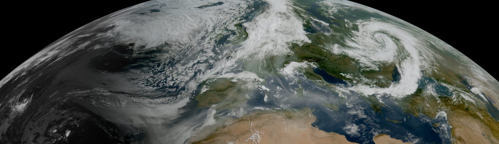
The GMME’s VEGEO team conducts research on the observation of atmospheric aerosols, as well as the characterisation and modelling of land surfaces in terms of vegetation, soil moisture and radiative properties. Satellite observation is at the heart of the team’s work.
Research topics
- Modelling and remote sensing observation of vegetation fire risk and monitoring of fire emissions,
- Data assimilation to better represent the soil-plant system in the hydrological cycle and the impact of climate change,
- Improvement and enhancement of land surface observation,
- Improvement and enhancement of atmospheric aerosol observation.
Main actions
VEGEO is developing the iAERUS-GEO tool for monitoring aerosols based on Meteosat observations and the LDAS-Monde tool for monitoring vegetation and soil moisture based on satellite observations of vegetation status. The iAERUS-GEO tool contributes to the development of EUMETSAT’s satellite product portfolio and the improvement of atmospheric models. LDAS-Monde improves the initial surface conditions for atmospheric models and monitors the risk of natural disasters (vegetation fires, droughts, floods).
Main programs and projects
- CERISE – improvement of the initial conditions used in Météo-France’s seasonal forecast model (Horizon Europe funding), https://cerise-project.eu
- CMUG – use of essential climate variables observed from space (ESA funding), https://climate.esa.int/en/observations-and-modelling/cmug/
- CORSO – development of observation operators using machine learning for the assimilation of satellite radiance observations (Horizon Europe funding), https://corso-project.eu
- GREENEO – monitoring of vegetation fire risk in Europe (Horizon Europe funding), https://projectgreeneo.eu
- HSAF – observation of soil moisture (EUMETSAT funding), https://hsaf.meteoam.it/
- iAERUS4FCI – aerosol monitoring based on Meteosat Third Generation FCI instrument observations (EUMETSAT funding), https://www.eumetsat.int/I-AERUS-GEO
- IRICLIM – integrated research on climate-related risks (France2030 funding as part of the IRIMA PEPR), https://www.pepr-risques.fr/fr/projets-cibles/iriclim-recherche-integree-sur-risques-lies-au-climat
- LSASAF – observation of the radiative properties of land surfaces (EUMETSAT funding), https://lsa-saf.eumetsat.int
Recent scientific publications
Barthelemy, S., Bonan, B., Tomas-Burguera, M., Grandjean, G., Bernardie, S., Naulin, J.-P., Le Moigne, P., Boone, A., and Calvet, J.-C. : Analysis of past and future droughts causing clay shrinkage in France, Hydrol. Earth Syst. Sci., 29, 2321–2337, https://doi.org/10.5194/hess-29-2321-2025, 2025.
Georgeot, A., Ceamanos, X., Attié, J.-L., Juncu, D., Gasteiger, J., and Compiègne, M.: Towards improved retrieval of aerosol properties from the geostationary orbit with the new Meteosat Third Generation-Imager satellite, Atmos. Meas. Tech., 18, 4665–4693, https://doi.org/10.5194/amt-18-4665-2025, 2025.
Liu, E., Zhu, Y., Lü, H., Bonan, B., Munier, S., and Calvet, J.-C. : Impact of leaf area index assimilation and gauge-corrected precipitation on land surface variables in LDAS-Monde : a case study over China, Journal of Hydrology, 133304, https://doi.org/10.1016/j.jhydrol.2025.133304, 2025.